by contact@husnuyesirci.com | Aug 10, 2021 | Release Note
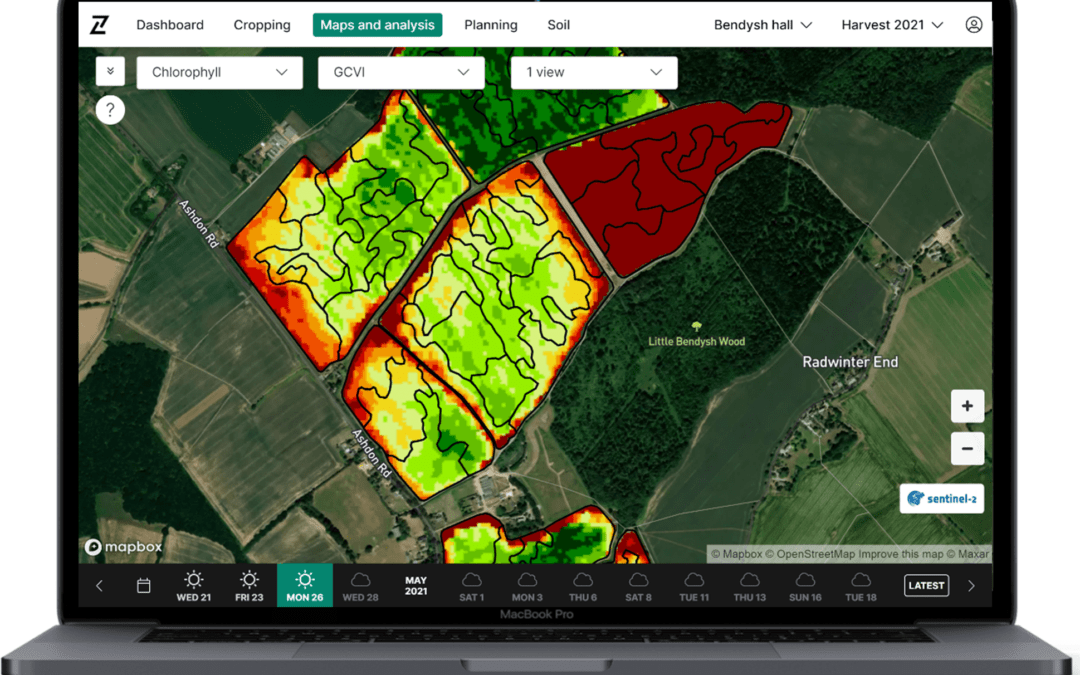
Experience a new level of precision with the tramlines imagery update 10 AUGUST, 2021 Release Note Precision planning just got better. In the latest update to Contour, we’ve used AI technology to filter out the effects of tramlines without detriment to the underlying...
by contact@husnuyesirci.com | Jul 2, 2020 | Release Note
Contour launches new mobile app enabling farmers 02 JULY, 2020 Contour Release Note Update Create plans using GCVI and SOB imagery Preview raw satellite images Demonstrate responsible fertiliser use using our new compliance report Create plans using chlorophyll and...
by contact@husnuyesirci.com | Jun 10, 2020 | Release Note
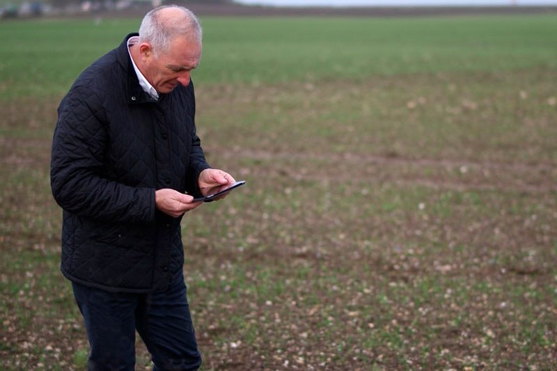
Scout accurately and record in-field observations with Contour 10 JUNE, 2020 Contour Contour Mobile Release notes Updates Create and view observations and their status Improved observation precision with fixed pin feature New layout for quicker navigation oday we...
by contact@husnuyesirci.com | Apr 16, 2020 | Release Note
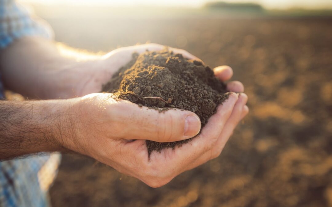
Manage soil health in Contour 16 APRIL, 2020 Release NoteUpdates View soil analysis results across your whole farm Analyse historical results Monitor changes in nutrient levels The new ‘Soil’ page enables you to view soil nutrition data at a zone and field level...

by contact@husnuyesirci.com | Aug 13, 2019 | Release Note
Contour launches new mobile app enabling farmers 13 AUGUST, 2019 GlobalRelease Note Upgrade to optical satellite imagery quality and frequency in Contour. Today we announce improvements to our satellite image delivery, featuring improved image correction to provide an...

by contact@husnuyesirci.com | May 17, 2019 | Release Note
Contour users benefit from GCVI imagery for late season applications 17 MAY, 2019 GlobalRelease Note As we enter the final stages of the growing season, growers are planning final applications on crops. At this late stage of the season, the NDVI (normalized difference...
